Sunday, October 21
|
|
Optional Day Trips |
|
8 a.m. - 3 p.m. |
Option 1 |
|
8 a.m. - 4 p.m. |
Option 2 The Oaks of Pepperwood – Research, Land Management and Fire Learn more |
|
8 a.m. - 6 p.m. |
Option 3 Wine Country Tour and Tastings Learn more |
|
9 a.m. - 12 p.m. |
IOS Board Meeting | |
1 - 4 p.m. |
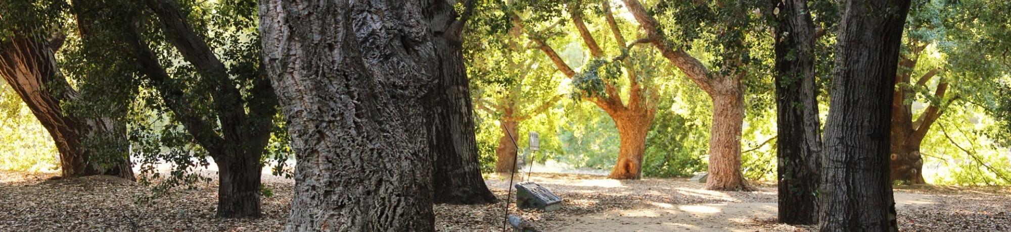
Oak Discovery Day in Shields Oak Grove |
|
Afternoon |
Satellite Meetings |
|
4:30 - 6 p.m. |
Oaks of the Americas Conservation Network Meeting and Red List Review Session |
Murphy Westwood |
5 - 6 p.m. |
APGA Plant Collections Network Multisite Quercus Curatorial Group Meeting | Matt Lobdell The Morton Arboretum |
6 - 7 p.m. |
Opening Reception |
|
7 - 8 p.m. |
Keynote AddressRecovery and Resilience of Oak Woodlands Following the October 2017 Tubbs Fire |
David Ackerly University of California, Berkeley |
More about the Keynote Address
David Ackerly
David Ackerly is the dean of the College of Natural Resources and a professor of plant ecology in the Department of Integrative Biology, University of California Berkeley. His lab group studies physiology and demography of California native plants in relation to drought, climate and fire.
Recovery and Resilience of Oak Woodlands Following the October 2017 Tubbs Fire
The Tubbs Fire swept across the Southeast corner of Pepperwood Preserve in the early hours of October 9, 2017, and then burned slowly across most of the preserve over the following four days. We installed long-term forest dynamics plots in oak, Doug-fir, and mixed hardwood woodlands starting in 2013, with almost 8000 saplings and trees permanently marked (primarily coast live oak, Oregon oak, blue oak, black oak, madrone, California Bay, and Douglas fir). Some plots are in areas subject to Doug-fir removal and understory fuel treatment. Surveys to be conducted in 2018 will allow us to quantify mortality, resprouting and recovery across the landscape, with unique insights about mortality and resprouting of smaller individuals (which were entirely burned) that are only possible based on the pre-fire surveys. Temperature data loggers provide a precise record of rates of fire spread. Fire severity mapping based on leaf scorch and mortality will be compared with remote sensing analyses to ground-truth severity maps and highlight the variable impacts that can occur in the understory that are not apparent from remote sensing. These initial surveys will provide a baseline for projections of long-term recovery and resilience of oak woodlands in response to this mixed severity fire.